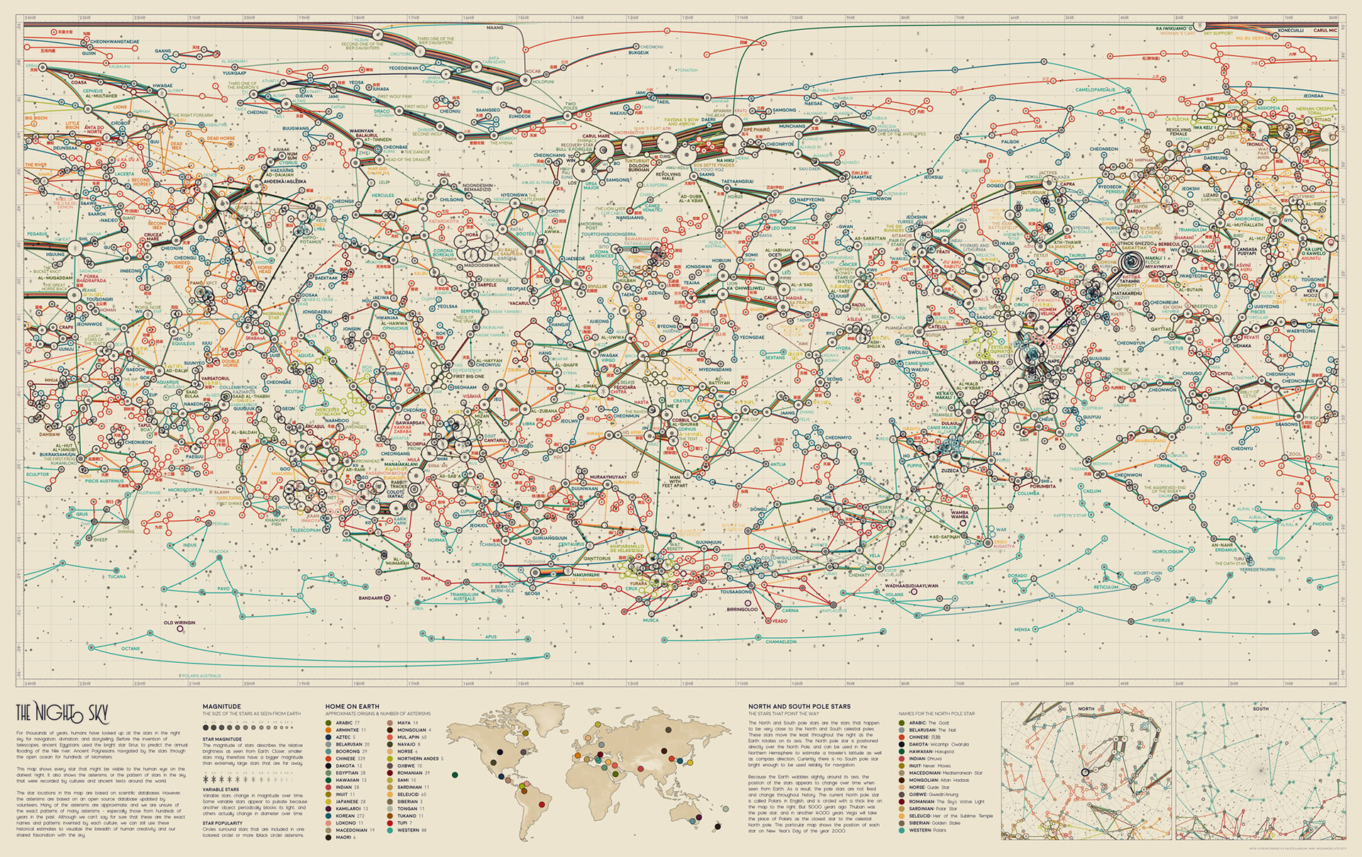
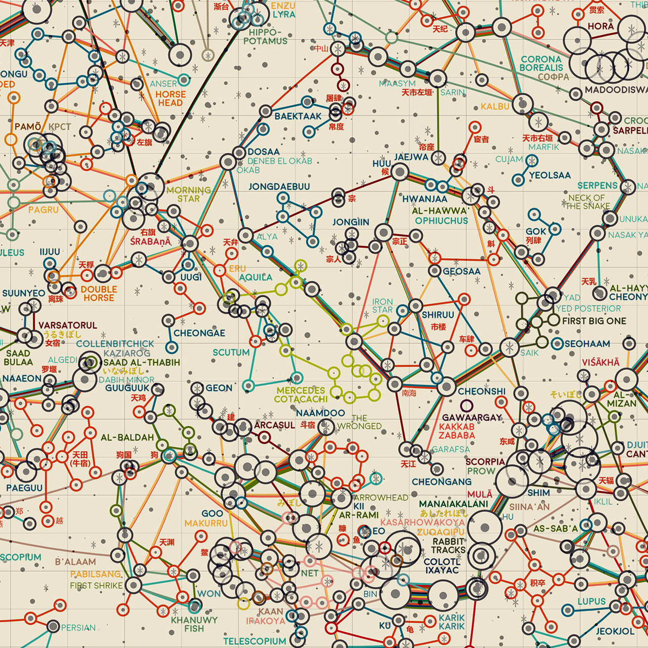
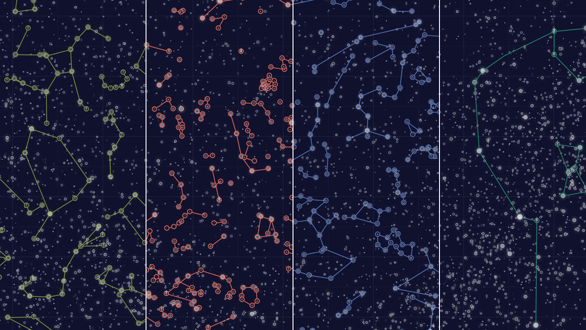
The map features asterisms - or patterns in the sky - from ancient and modern civilizations alike. Some of my favorites are the ancient Arabic asterisms (left, green), traditional Chinese and Korean (red and blue) and traditional Hawaiian (right, aqua).
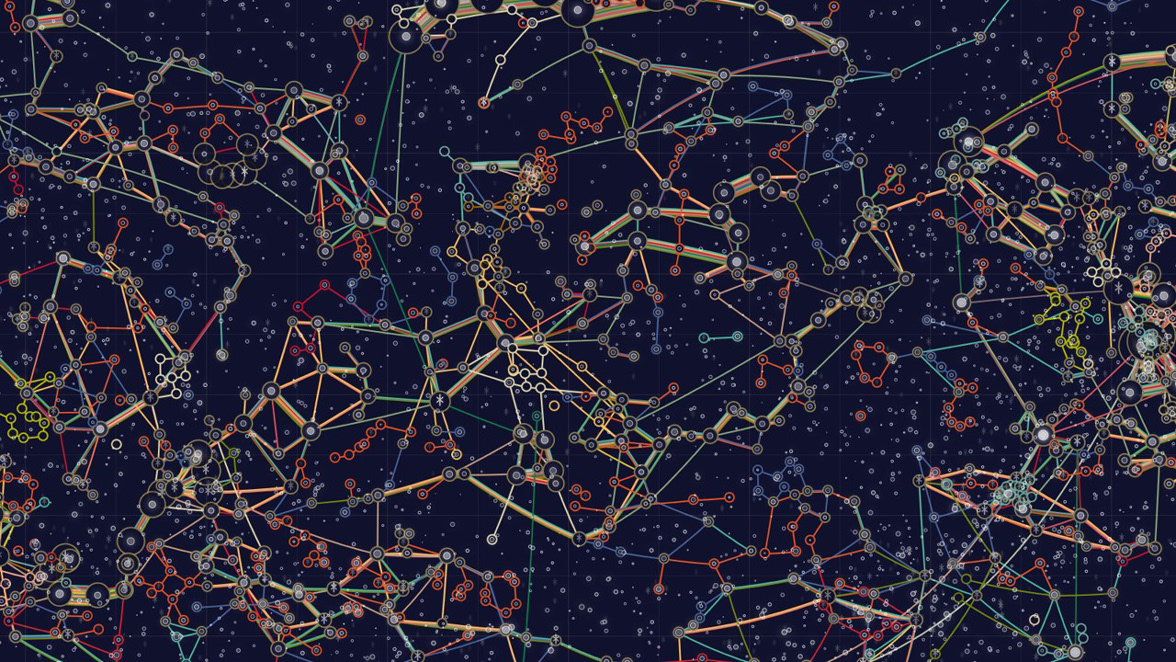
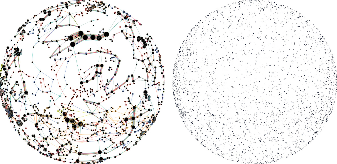
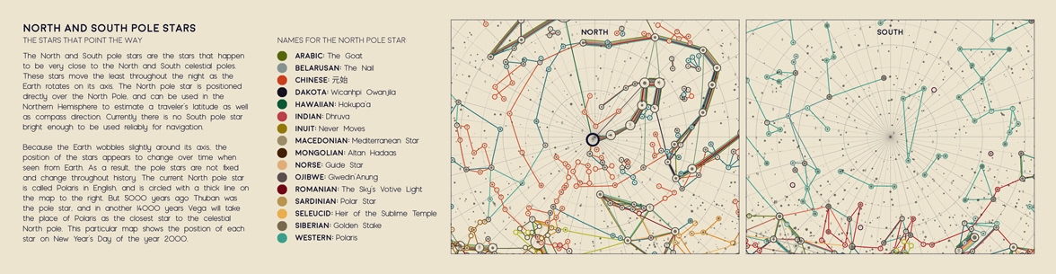
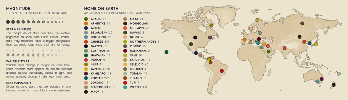
The map is designed using asterism data from from Stellarium, an open-source planetarium software, and the HYG Star Database by David Nash. Because the equirectangular projection greatly distorts the North and South poles, I also included two alternate maps of the polar regions in the map key.